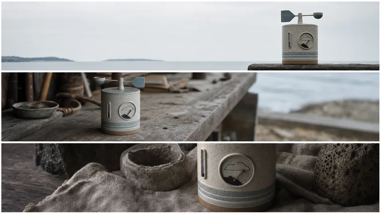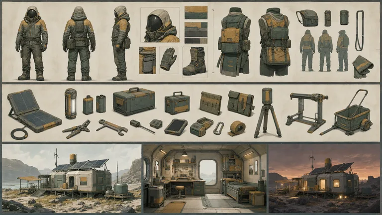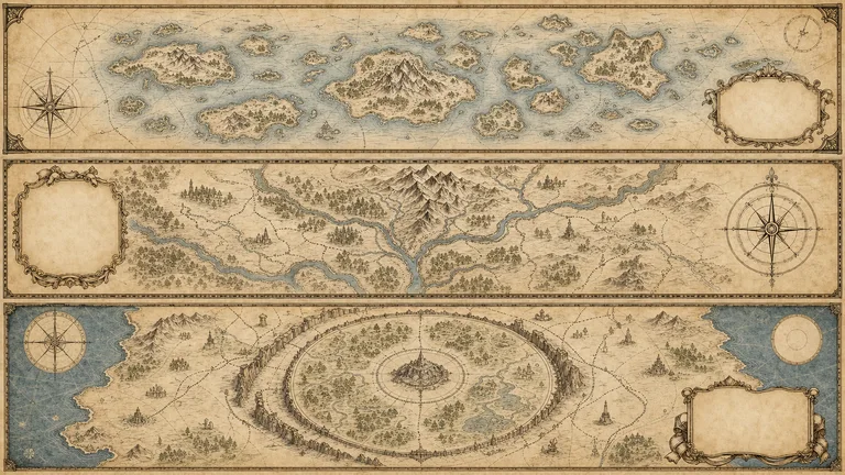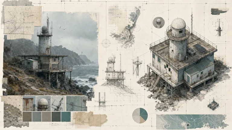
Preview gallery
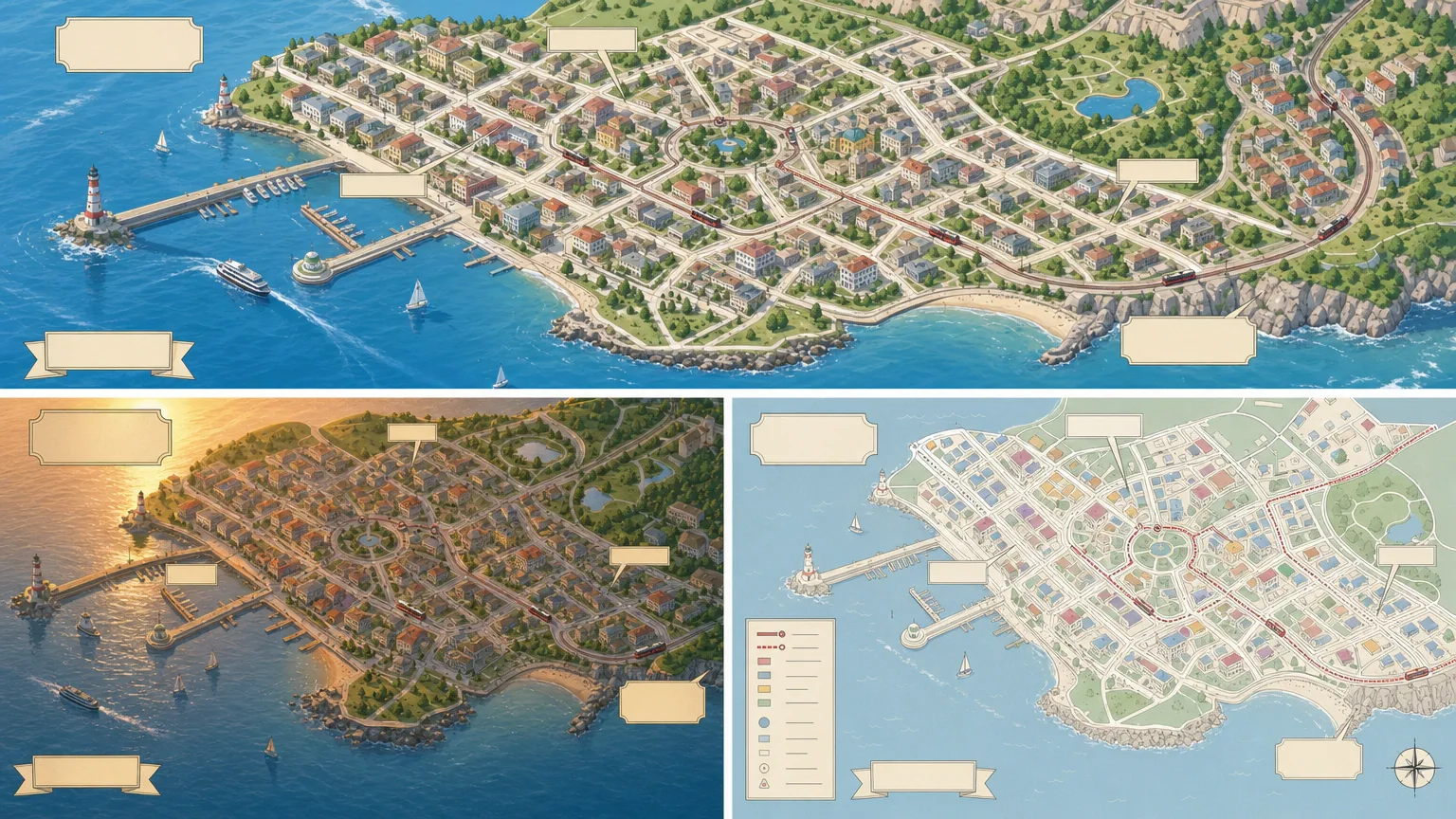
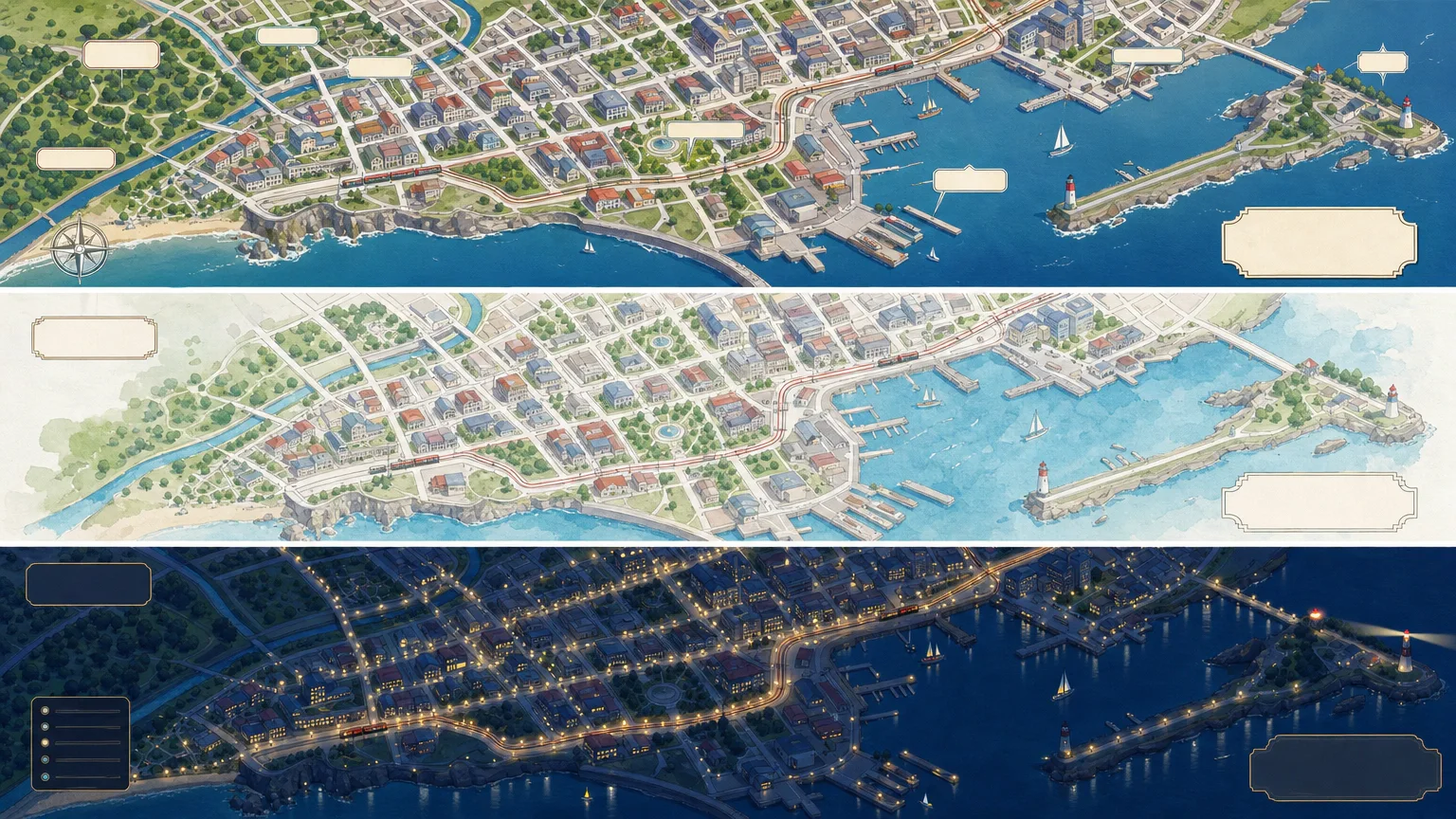
The job to start with
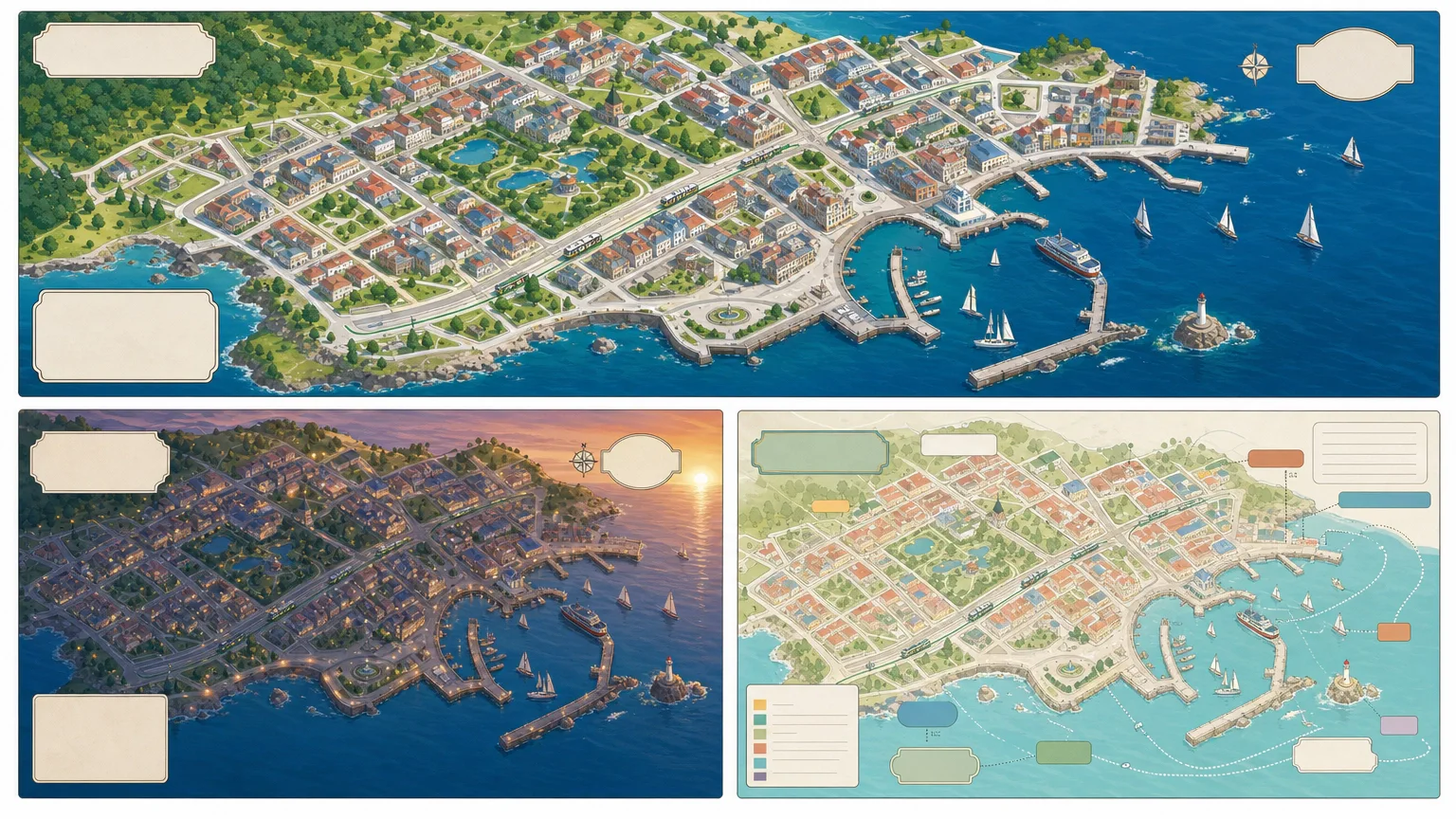
Use City Street Map Illustrator to create an illustrated place with verifiable geography. Start by deciding what your audience needs to understand; use the preview to judge whether this format serves that goal.
Picked most often by
Plan your first result
Use the brief below as a starting point. Replace the placeholders, review a small draft, then expand it.
When to choose it
You have a specific message and a place where the image will be used. Choose the visual direction using the existing preview, then brief it with your own subject.
Prepare the material
Supply the approved message, intended crop, subject references, exact labels and image rights. State what must remain factual and what may be illustrative.
A first brief to adapt
Use City Street Map Illustrator to create an illustrated place with verifiable geography. My audience is [audience], and the material I can provide is [sources]. Approve a simple composition before refining surface detail. Review any generated wording against your source text. Check landmarks against the supplied map and separate decoration from navigation. Flag missing facts before producing the final output.
The review that matters here
Check landmarks against the supplied map and separate decoration from navigation.
Know the boundary
A generated image is a draft for review. Check text, attribution and factual details before publishing; generation providers may charge separately.
What you need before you start
- You bring
- Approved city boundary, street skeleton, and orientation · Verified landmark list and relative placement · Illustration mood, ratio, palette, and label plan · Navigation disclaimer, rights, privacy, and prohibited identifiers
- Dependencies
- FAL account — required · Node.js 20 or newer — required
- Outside costs
- Image generation uses one paid FAL task for three directions. Review the brief before submission; a failed task is never retried automatically.
- Package compatibility record
- v1.0.0 — Claude Code / Claude Desktop / Cowork / Codex / ChatGPT
From package to deliverable
- Use the workflow with your own subject and approved message. Review the composition before committing to the final image.
- The preview is a style reference. Prepare the actual delivery crop and inspect labels, attribution and subject details in the result.
A useful first milestone
- A workflow to create an illustrated place with verifiable geography.
Before handing it over
- Check landmarks against the supplied map and separate decoration from navigation.
- A generated image is a draft for review. Check text, attribution and factual details before publishing; generation providers may charge separately.
Content Creation & PublishingCreative Development & PrevisualizationCreate Article IllustrationsCreate Illustrated MapEvidence-firstText-accurateVisually PolishedModular GridOriginal IllustrationCity Street
User reviews
Loading reviews…
FAQ
Check landmarks against the supplied map and separate decoration from navigation.
Approve a simple composition before refining surface detail. Review any generated wording against your source text.
A generated image is a draft for review. Check text, attribution and factual details before publishing; generation providers may charge separately.